CROWLAND
Historic background
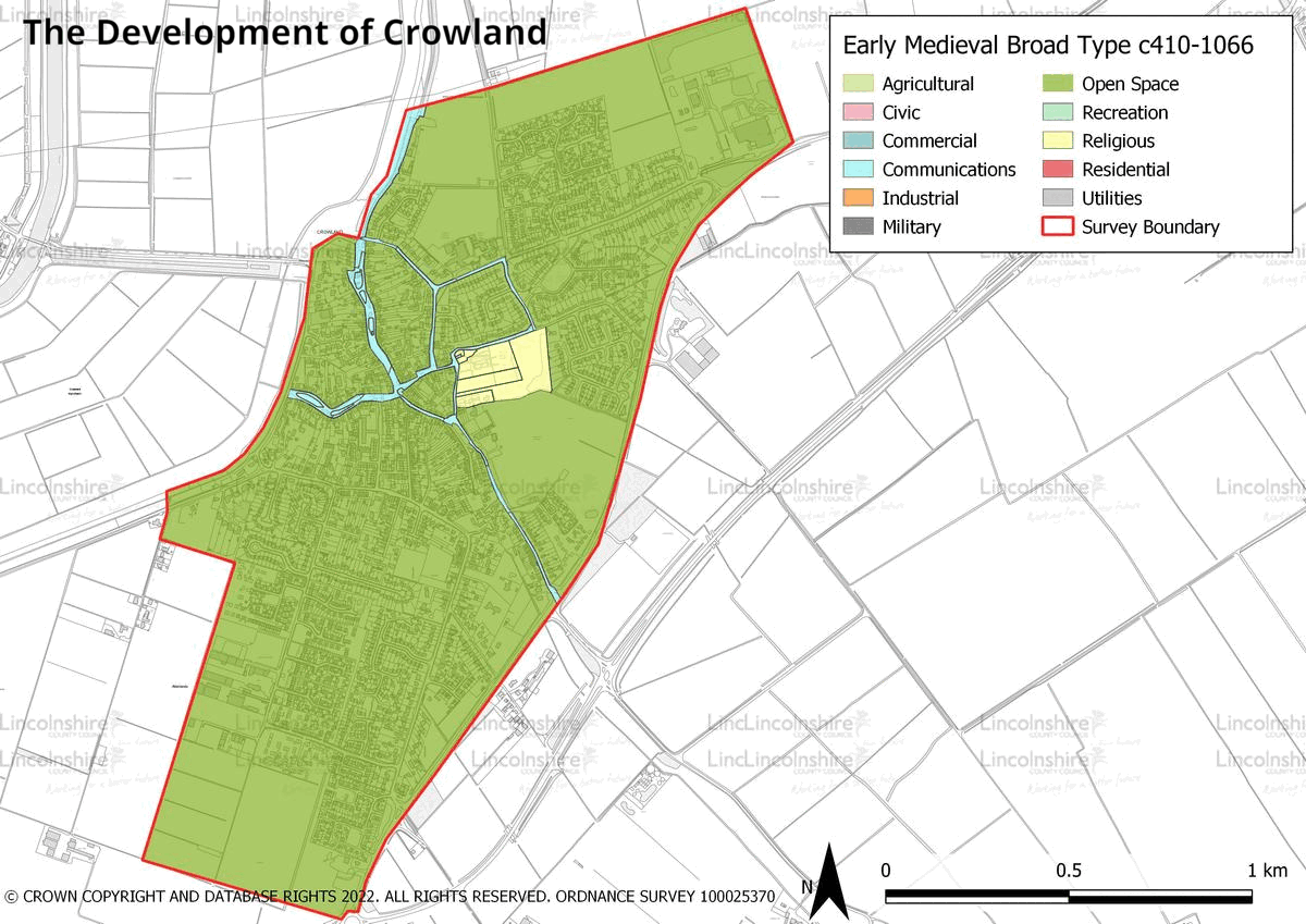
Crowland is located on a gravel outcrop on the edge of fens, which was surrounded by peat and later tidal marshes to its north, east and south. During the Neolithic period the rise in sea levels hindered the natural drainage of the local rivers, which resulted in the accumulation of stagnant water which allowed for the formation of peat. This created a unique environment for prehistoric peoples, finds from this period demonstrate the ways in which people were interacting and managing their environment. Axes, flint tools, a serrated Neolithic blade, a Bronze Age scraper, and a pin from the same period are all included in the archaeological record of Crowland. During the Bronze Age a barrow cemetery was extant across the area that later became the town. Archaeological investigation on some of these sites has produced Bronze Age pottery. There is less known about the Roman period within the survey area. Some Roman activity is recorded, which indicates the possible presence of a high status building within the vicinity of the Anchor Church Field. Rooftile, tesserae and brick as well as a coin which dates to the 4th century have also been recorded. Crowland’s origin largely began in the early medieval period, when a monastic house was established here in the 8th century, by Saint Guthlac. In 870, the monastery was destroyed by Viking raids and it was refounded to the south-west in the mid 10th century as Crowland Abbey. This location was much closer to what has since become the town centre and its presence would have played the central role in the town’s development throughout the medieval period. By the Norman conquest it was the oldest monastery in Lincolnshire. During the medieval period, a series of water channels which met in the centre of the town were constructed. Trinity Bridge, with its 3 way plan crossed the confluence of these rivers.

In the medieval period, long thin burgage plots were established extending from the main routes, these provided accommodation and land on which local people could grow produce and keep livestock. In the 16th century, the abbey was dissolved as part of the religious reformation. This would have had a huge impact on the way of life for the town, much of which would have revolved around the abbey and its functions. Over the post-medieval period, the town continued as a small agricultural settlement and market town based around a medieval layout. The waterways which had been constructed through the centre of Crowland in the earlier period were culverted or filled in by the early modern period. Growth in the town was slow until the late 20th century, since when some residential development has taken place. Crowland is close to a number of larger settlement centres including Peterborough, Spalding and Stamford, and as such, there is some development which caters to commuting employees.


Character Summary
Crowland has distinctive character areas, including the town centre which is represented by HUCA 1, the 20th and 21st century growth, which is discussed in HUCA 2 and agricultural land in HUCA 3. HUCA 1 is unique, its layout being the product of planned construction during the medieval period. The waterways which were the forerunners of the modern roads were sinuous, with wider areas in the outer town which are suggested to have been turning basins, this has created almost a ‘star shape’ in the town’s layout which is still extant in the present day. The town centre property boundaries also largely date to the medieval period and have been incredibly well preserved due to the town’s decline in prosperity over the post-medieval period. It was not until the 20th century that infilling began to take place which had more of an impact on the layout. Despite this there is a good level of preservation in the town centre. The buildings within the HUCA date to between the medieval and modern periods, the latter the result of infilling. There is also a good preservation of traditional building styles across the area and some more modern development has been sympathetic to older character. HUCA 2 is largely indistinct and contains residential development of national styles rather than local vernacular, although it does demonstrate the changing needs of the town and the changing styles of housing across the 20th and early 21st centuries. The remaining area within the survey boundary is agricultural. This land shows largely modern field patterns; however, there are some older boundaries still extant that survive from the parliamentary enclosure of the early 19th century.